Urban Waterlogging Early Warning: The Co-evolution of Water Level Monitoring and Drainage Control with Industrial Personal Computers
As torrential rains pour down, urban roads instantly transform into waterlogged landscapes—vehicles stall in stagnant water while pedestrians wade through floods with difficulty. This recurring disaster scenario has become a hallmark of global urbanization in recent years. According to the World Meteorological Organization, urban waterlogging events triggered by extreme rainfall increased by 47% globally between 2020 and 024, causing direct economic losses exceeding $280 billion. Traditional "passive emergency response" models struggle to cope with the growing complexity of urban water systems, while the deep integration of IoT technology is driving a paradigm revolution in urban flood control—shifting from "post-event remediation" to "pre-event prevention."
1. The Waterlogging Dilemma: Imbalance in Urban Water Systems Amid Urbanization
The root cause of urban waterlogging lies in the intensifying conflict between natural hydrological cycles and artificial drainage systems. As urban impervious surfaces exceed 60%, surface runoff coefficients surge from 0.3 in natural conditions to 0.9—meaning 90% of rainfall cannot infiltrate and directly enters drainage networks. Simultaneously, most cities still rely on 20th-century drainage standards; for example, drainage networks in some old urban areas in China can only handle 30 mm/hour of rainfall intensity, while recent extreme storms often exceed 100 mm/hour. This paradox of "small networks combating massive storms" was starkly revealed during Guangzhou's "May 22" 2024 deluge: the central city received 298 mm of rainfall in three hours—equivalent to one-fifth of its annual precipitation—causing severe flooding at 213 locations and direct economic losses exceeding $1.2 billion.
The limitations of traditional response methods are increasingly apparent. Manual inspections fail to cover concealed areas like underground pipelines and tunnels; in a 2023 pre-flood inspection, only 32% of drainage outlets were accurately recorded in one city. Emergency plans based on experience often prove ineffective against atypical rainfall patterns—during Zhengzhou's "July 20" 2024 event, meteorological authorities issued a red暴雨预警 (rainstorm warning) six hours in advance, but drainage pumping stations failed to activate promptly due to lack of real-time water level data, resulting in 13 meters of water accumulation in the Jingguang Expressway tunnel.
2. IoT Reconstruction: A Technological Closed Loop from Sensing to Decision-Making
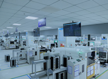
IoT technology constructs a digital twin of urban water systems through a complete chain of "sensing-transmission-analysis-control," transforming fragmented physical signals into computable decision-making bases and enabling intelligent upgrading of flood control systems.
2.1 Multidimensional Sensing Networks: The "Nerve Endings" of Urban Water Conditions
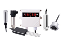
Water level monitoring forms the foundation of waterlogging early warning, with current mainstream solutions integrating "contact + non-contact" technologies:
Electronic Water Level Gauges: Using resistive or capacitive sensing, these devices achieve millimeter-level precision by converting water level changes into electrical signals. In Shenzhen's Futian District, electronic gauges successfully captured a sudden water level rise from 0.3m to 1.2m within 15 minutes in an underpass tunnel—three times faster than traditional float-type gauges.
Radar Water Level Meters: Based on Frequency-Modulated Continuous Wave (FMCW) ranging principles, these non-contact devices excel in high-traffic areas with debris. The radar meters deployed at Shanghai's Bund Tunnel accurately monitored a record 2.1m water level during Typhoon In-Fa in 2024, providing critical data for traffic control.
Pressure-Type Water Level Sensors: By measuring water pressure to calculate levels, these sensors perform well in enclosed spaces like manholes. Chengdu's Jinjiang District installed pressure sensors in 300 manholes, identifying 12 abnormal water level rises caused by pipeline blockages with 92% prediction accuracy.
Drainage flow monitoring reveals system efficiency. Doppler flowmeters measure suspended particle reflection frequencies to simultaneously obtain flow velocity and volume data. In Hangzhou's West Lake drainage network renovation, Doppler meters detected overflow in a pipeline segment at 50 mm/hour rainfall, guiding engineers to expand pipe diameter from 800mm to 1200mm—boosting drainage capacity by 60%.
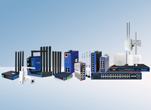
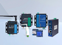
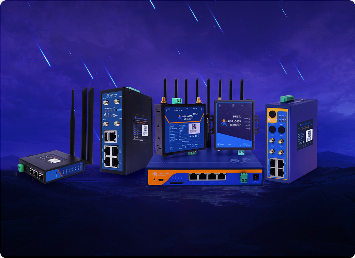
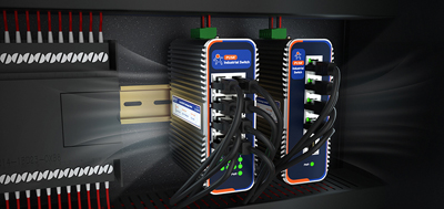
2.2 Intelligent Transmission Hub: The Pivotal Role of USR-EG628
In complex urban environments, sensor data must traverse signal blind spots like underground tunnels and building obstructions, demanding exceptional communication stability. The industrial personal computer USR-EG628 serves as a critical link between sensing and application layers with its quad-core processor and multi-protocol capabilities:
Protocol Compatibility: Supporting eight industrial protocols including Modbus RTU/TCP, Profinet, and EtherCAT, the EG628 seamlessly integrates heterogeneous devices from different manufacturers. In Wuhan's East Lake Tunnel monitoring project, it unified PLCs, water level gauges, and weather stations, reducing deployment time from 30 days (traditional approach) to 72 hours.
Edge Computing Power: Built-in FFT algorithms enable local spectrum analysis of vibration signals, reducing cloud data transmission by 70%. In Guangzhou's Zhujiang New Town underground pipeline monitoring, edge computing detected abnormal pipeline vibration frequencies, issuing three-day advance warnings of a failing joint.
Environmental Adaptability: Industrial-grade chips and all-metal enclosures ensure operation in -40℃ to 75℃ extremes. In Harbin's Songhua River flood control project, the EG628 functioned fault-free for 18 months at -30℃, maintaining continuous river water level monitoring.
2.3 Data Analysis Engine: Bridging Data to Decisions
Real-time data requires three-stage processing to become actionable warnings:
Data Cleaning: Wavelet denoising algorithms eliminate environmental interference. In Nanjing's Xinjiekou area, db4 wavelet decomposition reduced wind-induced vibration noise by 15dB while preserving structural vibration features in the 0.5-50Hz range.
Feature Extraction: Key indicators include water level rise rates and flood spread areas. Shenzhen's Qianhai District developed a 3D "water level-time-area" model to simulate flood distributions under different rainfall intensities, generating "one-hour flood heatmaps" for traffic control.
Intelligent Early Warning: An LSTM neural network model in Hangzhou's Qianjiang New City advanced waterlogging warnings from 30 minutes to 2 hours with 91% accuracy. Trained on five years of rainfall-flood data, it predicts water depth changes in specific areas during 50-year storm events.
3. Collaborative Control: Closed-Loop Management from Warning to Response
The ultimate value of IoT technology lies in intelligent flood control resource allocation. During Shanghai's 2024 CIIE flood protection operations, the IoT system demonstrated remarkable collaborative efficiency:
Automatic Drainage Control: When water levels exceed warning thresholds at pumping station forebays, the system automatically activates three pumps while adjusting nearby valve openings, boosting drainage efficiency by 40%.
Traffic Guidance Integration: Once water depths surpass 20cm, the system instantly shortens green light durations by 30% at affected intersections and redirects traffic. A pilot in Suzhou Industrial Park reduced traffic congestion indices by 22% during floods.
Emergency Resource Dispatch: GIS mapping locates flood points and automatically deploys the nearest response teams and equipment. During Zhengzhou's "July 20" 2024 drill, the IoT platform dispatched 300 personnel and 50 pumps within 15 minutes—five times faster than manual scheduling.
4. Challenges and Prospects: The Path to Resilient Cities
Despite significant progress, urban flood control still faces three major challenges:
Data Integration: Breaking down departmental data silos (meteorology, water resources, transportation) to establish unified early warning models. Currently, only 12% of cities achieve real-time cross-departmental data sharing.
Device Reliability: Extending the Mean Time Between Failures (MTBF) of underground sensors from 1.8 years to over 5 years to reduce maintenance costs.
Model Precision: Current prediction models inadequately account for complex factors like urban heat islands and terrain changes, requiring refinement with Digital Elevation Models (DEM) and Building Information Models (BIM).
Future technological trends will focus on three areas:
5G + Edge Computing: Enabling millisecond-level real-time responses and supporting high-bandwidth applications like video analytics.
Embedded AI Chips: Equipping controllers with local decision-making capabilities to reduce cloud dependency.
Self-Powered Sensing: Using vibration energy harvesting to extend maintenance cycles beyond five years and lower lifecycle costs.
From Shenzhen's "Sponge City" initiatives to Xiong'an New Area's "Digital Twin City" planning, IoT technology is reshaping urban-water relationships. When every raindrop can be precisely sensed and every drainage facility responds intelligently, we will finally bid farewell to "urban sea viewing" and embrace truly water-resilient futures.