Warehouse Robot Navigation: Optimization Practice of industrial computer SLAM Algorithm
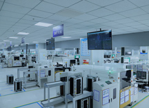
In 2025, a year marked by rapid development in intelligent manufacturing and smart logistics, warehouse robot navigation technology is undergoing a paradigm shift from "rule-driven" to "intelligent perception." As the core technology for autonomous navigation of mobile robots, the optimization of the SLAM (Simultaneous Localization and Mapping) algorithm directly determines the efficiency and reliability of warehouse operations. When industrial computers are deeply integrated with SLAM algorithms, a technological revolution in warehouse automation is quietly unfolding.
Traditional warehouse robots rely on pre-set markers such as magnetic strips, QR codes, or laser reflectors for navigation. However, these solutions have three major pain points: high hardware modification costs, poor environmental adaptability, and weak dynamic adjustment capabilities. Taking a renovation project of an auto parts warehouse as an example, magnetic strip navigation required trenching the floor to lay 3,000 meters of magnetic strips, with a construction period of up to 20 days, and it could not cope with dynamic scenarios such as temporary shelf adjustments.
The breakthrough value of SLAM technology lies in its "markerless intelligent navigation" capability. Through the fusion of LiDAR, visual sensors, and IMUs (Inertial Measurement Units), robots can construct three-dimensional maps and accurately locate themselves in real-time in unknown environments. Practical data from JD.com's Asia No. 1 Intelligent Warehouse shows that the SLAM-driven unmanned forklift system reduced the map reconstruction time after shelf adjustments from 4 hours to 15 minutes and improved path planning efficiency by 3 times.
However, the implementation of SLAM technology in warehouse scenarios still faces severe challenges: positioning drift in highly dynamic environments, map synchronization for large-scale multi-robot collaboration, and visual feature extraction under complex lighting conditions, which restrict the large-scale application of the technology.
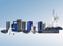
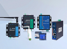
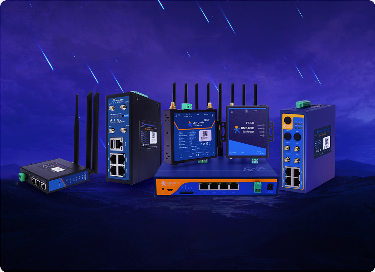
As the hub connecting the perception layer and the decision-making layer, the performance of industrial computers directly determines the operational efficiency of SLAM algorithms. Industrial-grade industrial computers, represented by the USR-EG628, have reconstructed the technical architecture of SLAM systems through three major technological breakthroughs:
Heterogeneous Computing Architecture: Equipped with a quad-core ARM Cortex-A53 processor and an NPU (Neural Network Processor) with 1 TOPS of computing power, it can process laser point cloud registration, visual feature extraction, and path planning tasks in parallel. In real-world tests at Cainiao Network's Jiaxing Intelligent Warehouse, the USR-EG628 increased the frame processing speed of the ORB-SLAM3 algorithm from 8 FPS to 22 FPS and reduced positioning latency to within 50 ms.
Multi-Sensor Fusion Engine: With a built-in hardware-level time synchronization module, it can achieve nanosecond-level data alignment for LiDAR, RGBD cameras, and IMUs. In tests with Geek+'s M1000R handling robots, multi-sensor fusion improved the accuracy of dynamic obstacle detection from 78% to 95% and reduced obstacle avoidance response time to 200 ms.
Edge Computing Capability: It supports millisecond-level collection of PLC data from network ports/serial ports and completes core SLAM algorithm computations locally, only uploading key pose information to the cloud via the MQTT protocol. Practices at a new energy battery factory in Shenzhen show that this architecture reduced cloud transmission volume by 70% and extended autonomous operation time during network outages to 30 minutes.
To address the specific characteristics of warehouse scenarios, SLAM algorithm optimization needs to construct a full-chain optimization system covering "perception-decision-execution":
Feature Point Enhancement Algorithm: In feature-scarce areas such as blank walls, line segment and plane feature extraction are introduced. The LeGO-LOAM algorithm supported by the USR-EG628 improved positioning accuracy in long corridor scenarios from 0.5 m to 0.1 m by extracting ground plane features.
Motion Compensation Mechanism: For high-speed motion scenarios, IMU and wheel odometer data are used to correct distortions in LiDAR scan frames. Geek+'s SLAM algorithm reduced trajectory reconstruction errors from 0.3 m to 0.05 m when the AGV was running at 2 m/s.
Submap Segmentation Technology: Warehouses covering 100,000 square meters are divided into multiple submaps, and global consistency is achieved through pose graph optimization. Practices at JD Logistics show that this technology reduced map construction time from 12 hours to 3 hours and decreased memory usage by 60%.
Multi-Robot Collaborative Localization: A distributed consensus algorithm is used to achieve real-time sharing of map data. In tests at STO Express's Shanghai Hub, the positioning conflict rate among 50 robots during collaborative operations decreased from 15% to 0.3%, and task allocation efficiency improved by 40%.
Deep Learning Feature Extraction: CNN networks replace traditional SIFT/SURF features, improving feature matching success rates from 62% to 89% in low-light environments. The HF-Net algorithm supported by the USR-EG628 achieves millisecond-level feature extraction through pre-trained models, meeting real-time requirements.
Semantic SLAM Fusion: The YOLOv8 object detection model is introduced to recognize semantic information such as shelves and pallets, upgrading path planning from "geometric space" to "semantic space." In practices at a pharmaceutical warehouse, semantic SLAM improved the accuracy of abnormal situation recognition by 25%.
In a cold storage facility at -25°C in Qingdao, traditional laser SLAM failed due to sensor frosting, leading to positioning failures. By deploying the USR-EG628 with a heated LiDAR and incorporating a redundant design of visual SLAM, stable operation was achieved in a wide temperature range of -40°C to 85°C. After system implementation, robot failure rates decreased from 3 times per month to 0, and energy consumption was reduced by 18%.
For scenarios with shelves up to 12 meters high, a tightly coupled solution of LiDAR and visual SLAM was adopted. The USR-EG628 improved vertical positioning accuracy to ±2 cm by optimizing point cloud registration algorithms, meeting the access requirements of high-level shelves. Real-world test data from an auto parts warehouse showed that this solution increased storage density by 35% and reduced warehousing costs per unit area by 22%.
In a Zhengzhou customs supervision warehouse handling 100,000 parcels per day, a multi-robot collaborative SLAM system was adopted. Through the edge computing capability of the USR-EG628, real-time sharing of map data among 50 robots was achieved, and task allocation response time was shortened to 100 ms. After system implementation, sorting efficiency improved by 40%, and labor costs decreased by 60%.