Field equipment frequently carries a GPS module and still leaves position data stranded. One documented case: an engineer opened browser developer tools (F12) on a vendor cloud platform login page, extracted a Client ID and a temporary token, and ran a local script that brought up a map service and plotted latitude/longitude points onto OpenStreetMap. Polling intervals could be set to 10, 30, or 60 seconds. The script returned latitude and longitude, positioning accuracy, and cellular signal strength, and could write the stream to CSV. The aim was simple — aggregate the positions of moving assets onto one map: vehicles, field staff, utility crews.
The workaround runs, but carries three costs. It depends on a vendor cloud account. The token is refreshed on every login. The vendor publishes no documentation on reporting frequency, so long-term stability has no guarantee. And a new batch of devices means rebuilding the integration from scratch.
The decisive question is not whether the device has a GPS module. It is where the position data terminates: on the vendor cloud alone, or locally on the device, where an internal system can pull it. That answer sets the selection direction. What follows traces the data path through three stations — what the device emits, how the position reaches an internal system, and how to verify it on site.
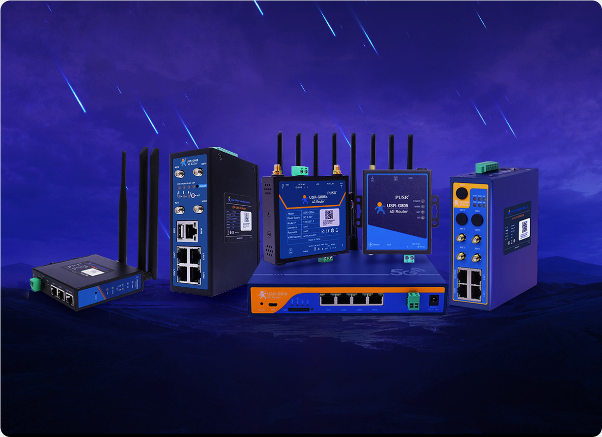
Such devices are typically industrial units: a 5G cellular router or a 4G cellular router. The cellular module handles the uplink, the GNSS module handles positioning, and the two capabilities run in parallel inside one enclosure.
GNSS is usually an option.Within one product line, the positioning version has to be specified separately at order time, and both price and lead time move with it. A purchase list that carries only the model number can end up with the version that has no positioning module.
Position data follows a standard format.The GNSS chipset outputs NMEA 0183 sentences after solving a fix, and GGA plus RMC are the common pair. GGA carries latitude and longitude, fix quality, the number of satellites used, and HDOP. RMC carries date, time, and speed over ground. Those fields decide whether a later question — is the point drifting, or is the asset actually moving — can be answered at all. The GNSS option on the USR-G816 supports GPS, GLONASS, BeiDou, and Galileo, with a 1575.42 MHz antenna.
Antenna placement affects the outcome more than the datasheet does.A GNSS antenna needs an open view of the sky. Mounted inside a metal control cabinet, or under a metal roof panel, it may fail to obtain a fix for a long time. Distance from the cellular and Wi-Fi antennas removes one class of interference.
Check the output channel.Position data that can be pulled locally from a serial or network interface belongs to a self-hosted design. Data that appears only inside a vendor cloud platform means the position stream is hosted by a third party.
Option one: push NMEA over serial passthrough.The USR-G816 provides one RS232/RS485 port supporting TCP Client, TCP Server, and UDP passthrough, plus Modbus RTU to Modbus TCP conversion. NMEA sentences can be pushed line by line to a server port, where GPGGA and GNRMC are parsed into latitude, longitude, and a timestamp. Bandwidth demand is small: at 1 Hz with two sentences per second, monthly volume lands in the hundreds of megabytes, so 4G is sufficient.
Option two: preprocess at the edge, then send upstream.When the site also has sensors or meters, position does not need its own link. A gigabit edge router such as the USR-G809s combines a positioning module, dual serial ports, and DI/DO, with 8 GB of storage and Python support for secondary development. Data can be preprocessed and cached locally, so position and business data share one uplink.
Option three: vendor cloud only.If the requirement is simply a dot on a map, the cloud platform is the least work. As soon as position has to be joined against work orders, alarms, or mileage in the same table, the first two options come back.
The fields worth retaining go beyond latitude and longitude: timestamp, fix quality, and satellite count belong together. Latitude and longitude alone make it impossible to tell a device problem from a signal problem when drift appears.
Offline behavior also needs a decision in advance: after the cellular link drops, positions are either buffered on the device for later retransmission or simply discarded. The USR-G816 offers dual SIM and automatic WAN failover, which covers part of this at the link layer; the application-level retransmission rule still has to be defined.
Keep a copy of the raw NMEA log, for reference if accuracy comes into dispute.
For moving assets — vehicles, AGVs, inspection robots, construction machinery — a 5G model with GNSS fits. The USR-G816 offers GNSS as an option (GPS/GLONASS/BeiDou/Galileo, NMEA 0183), one RS232/RS485 port, 1×WAN (configurable as LAN) + 3×LAN gigabit Ethernet, dual SIM with an optional built-in eSIM, DC 9–36 V wide-range power, a metal enclosure with three-level EMC protection, dual watchdog, and DIN-rail or wall mounting. Unattended outdoor sites can consider the waterproof version in the same series (IP65), which also supports an optional GNSS module.
For a fixed site that needs one device to handle both aggregation and position reporting, the USR-G809s fits better: 2 gigabit SFP ports plus 8 gigabit electrical ports, a cellular board selectable as 5G, 5G RedCap, or 4G, dual serial ports, DI/DO, and a positioning module, with 8 GB of storage and Python support. It suits several devices sharing a single uplink.
The selection rule compresses into one line: if the asset moves and position has to reach an internal system, choose a 5G cellular router or 4G cellular router with GNSS and a locally accessible position output; if the site is fixed and only one reliable uplink is needed, the positioning module is optional and the bud